Drag
Contact info

Company Overview
Q2 Metals is a Canadian mineral exploration company focused on its flagship property, the Cisco Lithium Project, located in the Nemaska traditional territory of the Eeyou Istchee James Bay region of Quebec, Canada.
The Cisco Project is positioned as the largest known hard-rock lithium deposit in the Americas and the fourth largest globally.¹ Widely acknowledged as a Tier-1 asset, Cisco is advancing toward its role as a critical source of lithium for the North American and European markets.
Located on Category 3 lands within the traditional territory of the Cree Nation, Q2 Metals works in collaboration with local Indigenous communities through continued full transparency and consistent open dialogue.
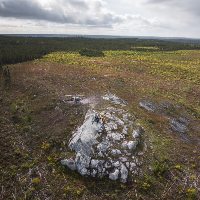
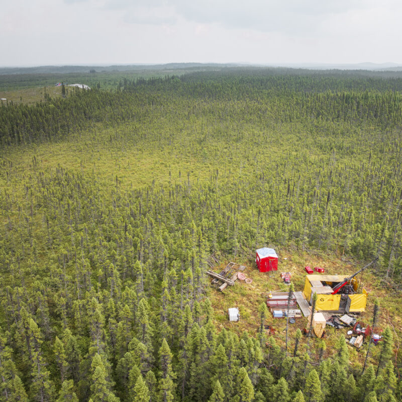
The Cisco Lithium Project
The Cisco Lithium Project is Q2 Metals’ flagship asset, located in the southernmost area of the Eeyou Istchee James Bay Region of Quebec, Canada. The Project is the largest known hard-rock lithium deposit in the Americas and fourth largest globally¹.
Why the Cisco Lithium Project Matters
Demand for lithium is accelerating as the global energy transition drives widespread adoption of electric vehicles, grid-scale battery storage, and clean energy technologies.
Cisco represents a potentially significant, well-located North American source of hard-rock lithium positioned to support this growing demand.
Largest spodumene lithium deposit in the western hemisphere
Fourth largest hard-rock lithium deposit globally
Unparalleled location and infrastructure proximity advantage
District-scale exploration upside with 801 contiguous mineral claims covering 41,253 ha
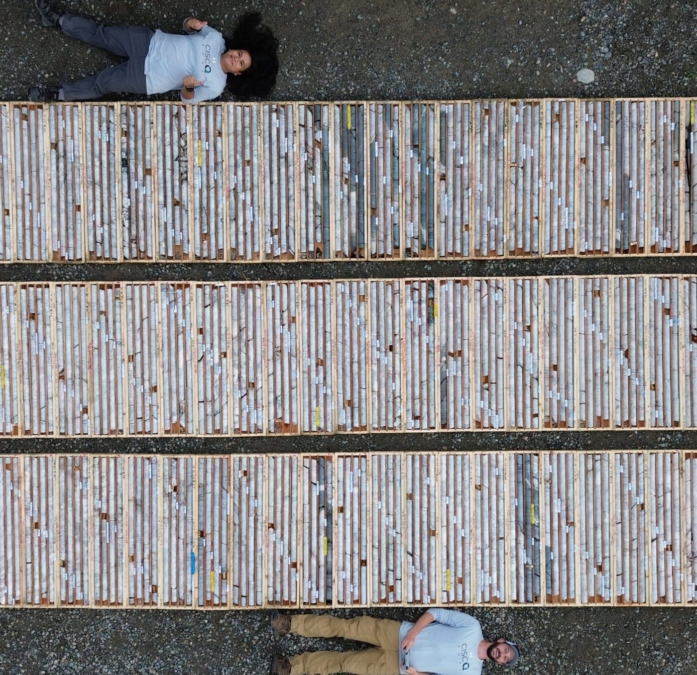
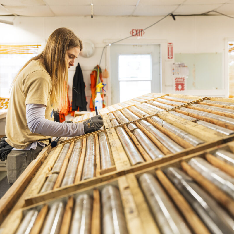
Key Milestones
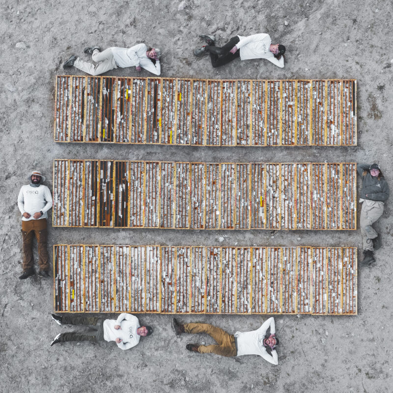
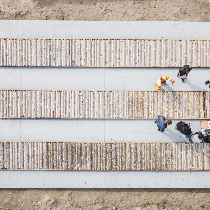
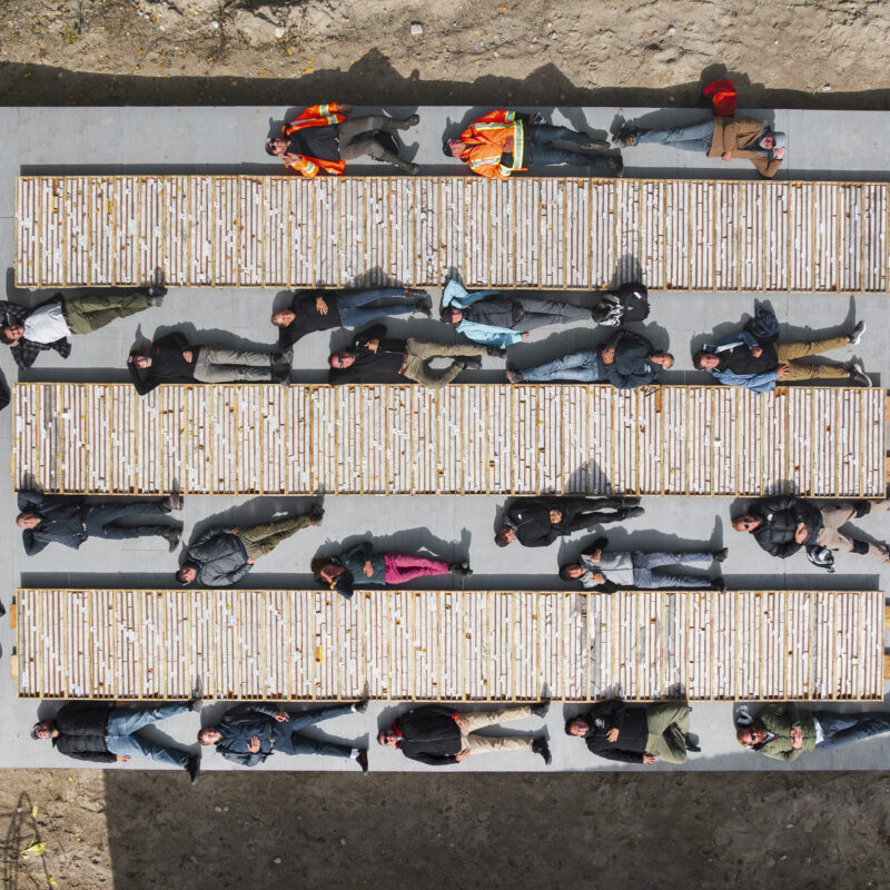
Since acquiring the Cisco Project in February 2024, Q2 Metals has advanced rapidly from initial drilling through to a significant Inaugural Mineral Resource Estimate, and is now progressing toward a Preliminary Economic Assessment.
457 m
Widest Known Interval Drilled
The best hard-rock lithium intercept ever drilled globally²: 457.4 m at 1.65% Li₂O (December 2025)
295 Mt
Inferred Mineral Resource
at 1.36% Li₂O (April 2026)
Next Steps
Preliminary Economic Assessment
Inaugural PEA targeted for completion late 2026, following ongoing indicated resource definition drilling
Latest News

Q2 Metals Reports Final Winter Assays with Intercept of 137.6 Metres Grading 1.47% Li₂O, Including 40.6 Metres at 3.25% Li₂O at the Cisco Lithium Project in Quebec, Canada
Vancouver, British Columbia, July 21, 2026 – Q2 Metals Corp. (TSX.V: QTWO | OTCQB: QUEXF | FSE: 458) (“Q2” or the “Company”) is pleased...
Download Corporate Presentation
For a comprehensive overview of the Cisco Lithium Project, exploration results, location and infrastructure advantages, download our latest Corporate Presentation.

Investors
Q2 Metals is listed on the TSX Venture Exchange (QTWO), the OTCQB (QUEXF), and the Frankfurt Stock Exchange (458).
Q2 Metals is currently covered by Canaccord Genuity, ATB Cormark, and Argonaut Limited. Contact information for each analyst is available on the Analyst Coverage page.
TSX.V: QTWO | OTCQB: QUEXF | FSE: 458. Visit the Stock Information page for current share price, trading data, and share structure.
Access Q2 Metals’ regulatory filings, financial statements, and continuous disclosure documents on SEDAR+ and the Investors section of this website.